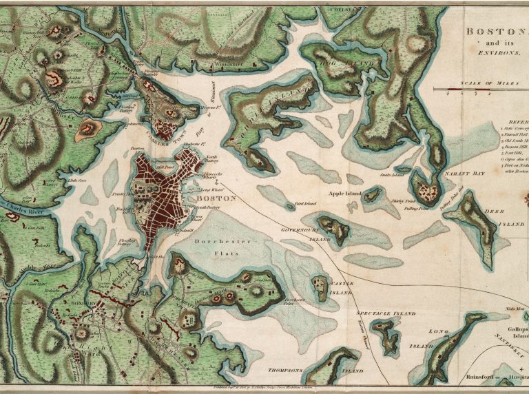
The Massachusett Tribe has lived with and stewarded the Shawmut Peninsula for thousands of years, long before this place was called “Boston.” When European colonists arrived, they claimed and transformed the landscape. Once bordered by salt marshes and beaches, most of Boston’s coast is now made of concrete and cement walls. As Boston faces rising sea levels caused by climate change, how can the peninsula’s past help us prepare for the future?
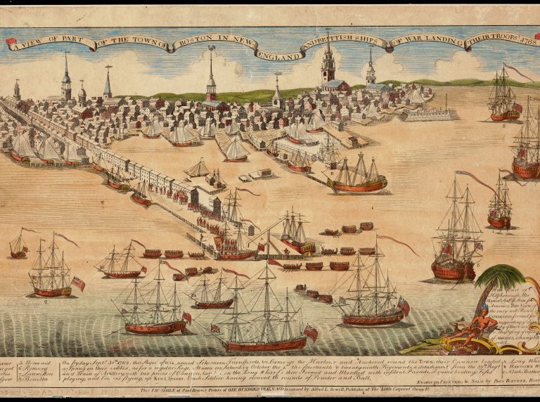
Settlers constructed Long Wharf in the late 1700s to support a growing maritime trading industry. Long Wharf stuck out a half mile into Boston Harbor, so ships could easily dock and unload their wares. Ships were able to unload directly onto the wharf, versus transporting goods via small dinghies, regardless of the tide. Most importantly, Long Wharf was built to never go underwater!
Over the coming centuries, the city was built up closer and closer behind Long Wharf, until present day where it is barely a tenth of a mile from the shoreline. About 20% of the city is built on filled land – dirt and other materials were removed from the three hills of Boston and used to fill in marshes and shorelines. Only Beacon Hill remains of these landforms.
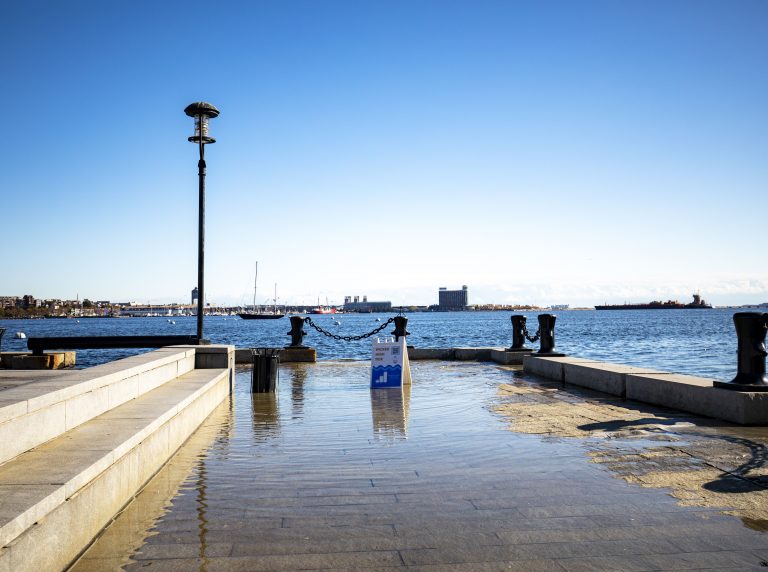
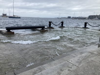
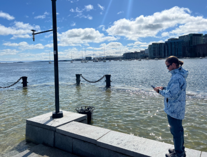
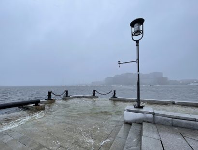
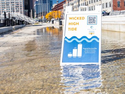
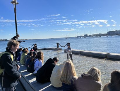
The ocean has risen at least 10 inches in Boston Harbor, and nowhere is that more clear to see than at Long Wharf. Long Wharf now regularly floods many times throughout the year during the Wicked High Tides. Seawater reaches over the top of the wharf and even rises up through storm drains. In early 2024 Long Wharf experienced some its highest flooding ever, with over two feet of water washing up its steps. Although the future is uncertain, scientists predict the sea level will rise up to 4 more feet by the year 2070.
For the first time, scientists, city planners, and the public can see in real-time if Long Wharf is flooding. The Lab’s Realtime Monitoring Network is building a network of flooding data across Massachusetts. We can finally collect empirical data about where and when flooding occurs, which in turn can help keep people, buildings, and communities safe – and help inform the science of predicting coastal flooding.