The Lab has developed a set of experiments, projects, and participatory science studies all aimed at learning how best to promote coastal resilience. One thing that makes the Lab unique is that several of the projects will be conducted outside, along the shoreline where waves, storms, and other coastal processes can be observed and studied. Conducting baseline assessments will give scientists a better understanding of existing conditions in advance of testing nature-based and hybrid approaches. Additionally, the Lab will conduct desktop research to inform how to best develop and implement policies. Once the projects are underway, the scientists will be able to observe first-hand the best approaches to making our shorelines and communities more resilient.
Cobble Berms
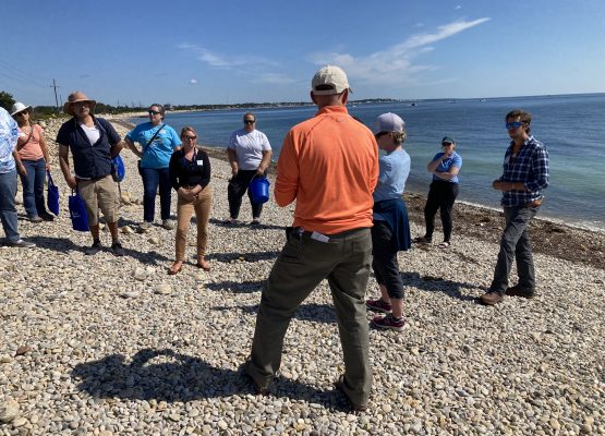
In partnership with the MA Office of Coastal Zone Management (CZM), this project aims to evaluate the performance, effectiveness, and ecological impacts of cobble berms as nature-based solutions for coastal resilience.
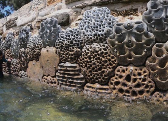
Living Seawalls
In partnership with Sydney-based Living Seawalls, the Lab is piloting the first North American sites of this innovative infrastructure technique.
Chronolog
In partnership with Chronolog, we have mounted photo stations in five locations around the waterfront. These photo stations allow anyone to take a photo of the site and add it to a longterm timelapse.
Real-time Monitoring in Boston Harbor
In partnership with City of Boston and Woods Hole Group, we are monitoring current conditions across Boston harbor in real-time. Explore current conditions in and around the Harbor yourself!
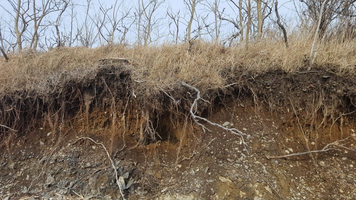
Terrestrial LiDAR Scanner (TLS) Monitoring of Coastal Erosion
This project will utilize Light Detection and Ranging (LiDAR) instruments to capture erosion events as they happen. LiDAR is a tool that measures the amount of time it takes light that comes from a sensor to reflect back from objects in its path.
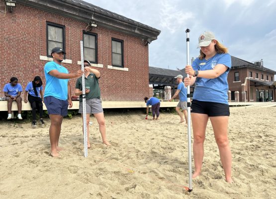
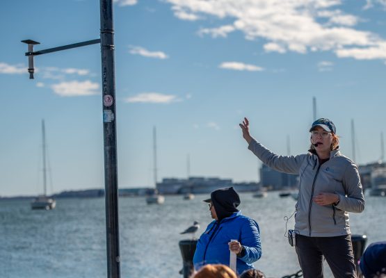
Participatory Science
The Lab engages with local students and residents to pilot participatory science protocols around Boston Harbor. Projects have included: Coastal Surge Investigators (CSI), Intertidal Monitoring, and Beach Profiling.
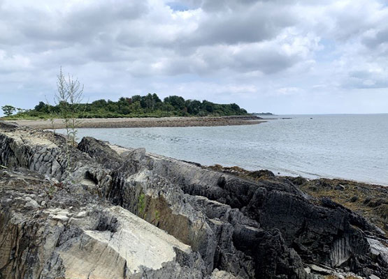
Island Sedimentation, Sea Level Rise, and Coastal Resiliency
This project looks to better understand how sediment moves on and around Rainsford Island in Boston Harbor. The project will also examine how changes in season and storms affect how sediment moves.
Developing Robust Policies for Nature-Based Approaches for Coastal Flood Protection
This project will use a model to develop and recommend useful policies for nature-based approaches The model will test different policies in a virtual environment, considering the views of stakeholders like local government officials & residents.