Collecting Data Both Above and Below Water
A key feature of the Lab is its monitoring program. By tracking conditions at strategic locations above and below the water, in and around Boston Harbor, the Lab can document changes in conditions, such as the way water moves in the Harbor and how water and air temperatures shift over time. These data establish important baseline conditions, which are critical when measuring the impacts of natural events such as storms, as well as the impacts of Lab experiments.
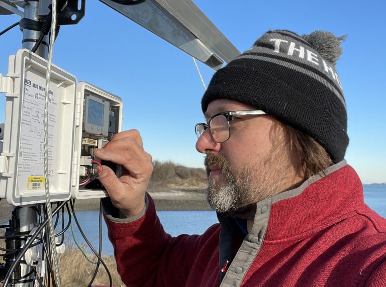
Several instruments collect real-time data on weather, including air temperature and relative humidity, barometric pressure, wind (and gust) speed and direction, precipitation, as well as photosynthetically active radiation and total solar radiation (sunlight). Most of the data are available in real-time, and are transmitted through a cellular network.
Data are wirelessly transmitted back to the UMass Boston campus and some of that data can be viewed here. Additional data will be added as new instruments are deployed.
Stay tuned for additional information on the Lab’s instruments.