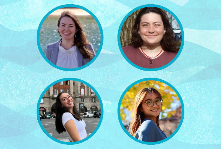
Adventures in Aerial Droning
Researchers utilized an aerial drone to collect high-resolution imagery both above ground and underwater, allowing us to see how seasonal change and storms affect the harbor every year.
Follow this self-guided trail all the way to Long Wharf to learn about Boston's changing coastline, and how sea level rise will impact our city in the future.
Researchers utilized an aerial drone to collect high-resolution imagery both above ground and underwater, allowing us to see how seasonal change and storms affect the harbor every year.
In late 2021, the Stone Living Lab deployed two Acoustic Doppler Current Profilers, or ADCPs, in the Boston Harbor area. These instruments will provide us with critical information about Boston Harbor and how winter storms affect its waters.
Read an overview about the Lab's education and public engagement programs that happened during 2021.
The Duxbury Beach Reservation is moving forward with plans to create a nature-based approach consisting of a cobble berm, dune restoration, and abutment protection to address erosion concerns.
Article published by UMass Boston on the Lab's first annual conference with BHEN! Scientists and partners from all over the area joined us to discuss the impacts of climate change on the state’s most vulnerable coastal regions in and around Boston Harbor.
Lab researcher Jarrett Byrnes shares his summer sampling work in intertidal zones.
Lab tech Laura Dissly provides a first-hand account of field sampling this summer with the Byrnes Lab.
The Lab is helping make Coughlin Park more resilient to climate change threats through using nature-based solutions.
The Boston Harbor Islands National and State Park have been named one of the country's 11 most endangered sites by the National Trust for Historic Preservation due to climate change threats.